Local History
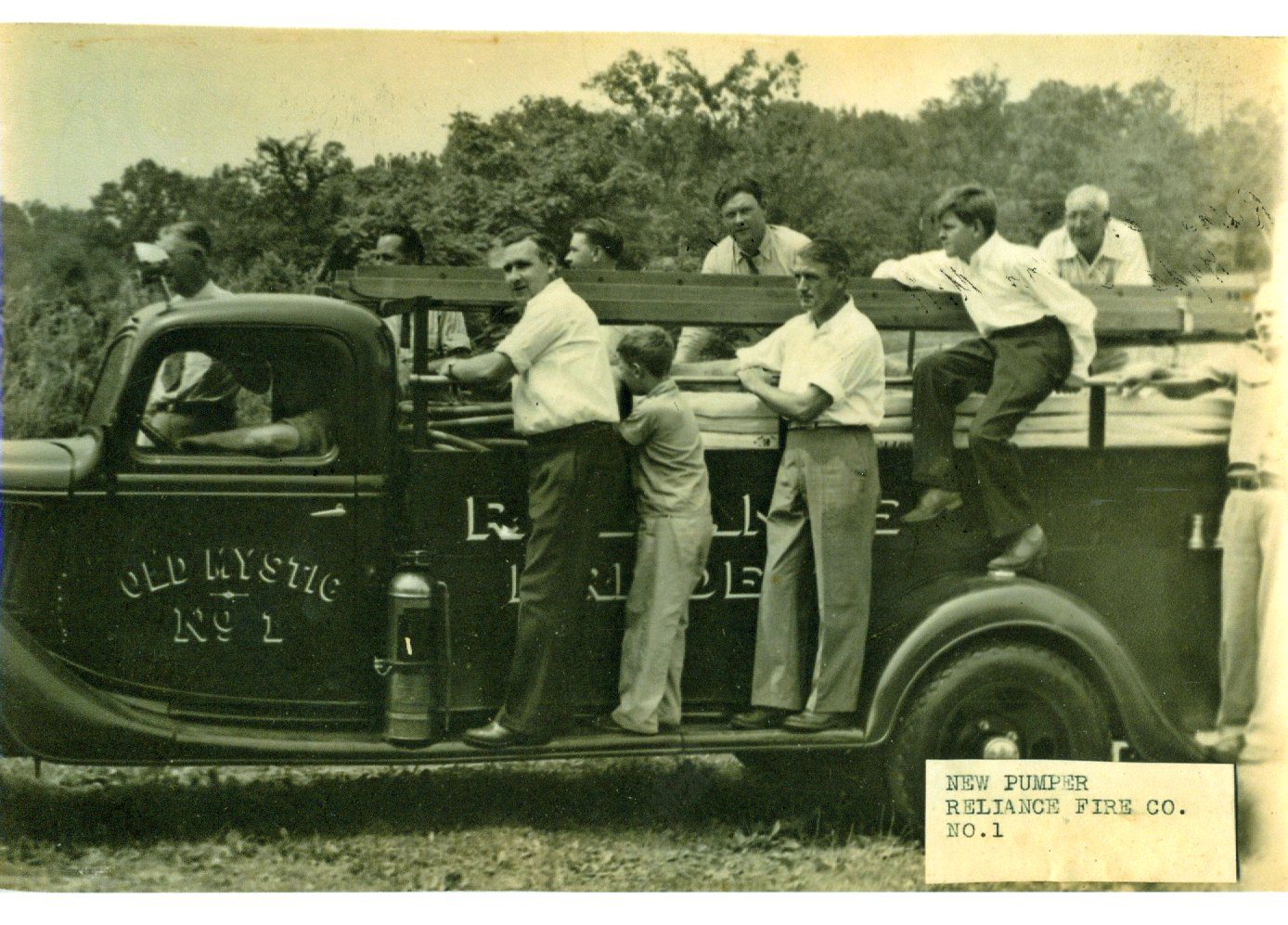
Mystic, Connecticut, was originally a “village” located in Pequot Plantation (New London) at the head of the Mystic River. The name Mystic, as we now spell it, derives from the Pequot term missi-tuk, which means “a large river whose waters are driven into waves by tides or wind”. This village is known as Old Mystic today.
Before the 17th century, the Pequot people lived in this area of southeastern Connecticut. They were in control of the territory from the Pawcatuck River to the Connecticut River. In May 1637, Massachusetts Bay ordered captains John Underhill and John Mason to lead a mission through Pequot Country. They and their Narragansett and Mohegan allies attacked the Pequot settlement in Mystic in the conflict that came to be known as the Pequot War. On September 21, 1638, Connecticut colonists signed the Treaty of Hartford, officially ending the conflict. Massachusetts Bay Colony was not a party to the Treaty of Hartford. This Treaty allocated Pequot territory to Connecticut’s jurisdiction and opened the land between the Mystic and Pawcatuck Rivers for settlement.
Soon after, Connecticut Colony and Massachusetts Bay made conflicting claims about who had governmental authority over the land between the Mystic River and the Pawcatuck River. Both colonies began to grant land to residents who wished to settle in the area east of the Mystick River. Early grants to Mistick went to John Winthrop, John Mason, George Denison, John Gallup, Thomas Minor, William Cheesebrough, Robert Burrows, Walter Palmer, and Thomas Stanton, most of whom arrived there by 1654. The Pequot Trail was used as a main highway and played a vital role in the settlers' lives, allowing them to transport livestock, crops, furs, and other equipment to and from their farmlands. By 1650, Robert Burrows was authorized to operate a ferry across the Mystic River.
On 1 September 1654, the settlers of Mistick petitioned the General Court to be a separate town and have its own church. When the Court refused to allow this, these individuals requested the same from Massachusetts Bay around 1658. Massachusetts agreed and brought the town under its jurisdiction as Southerton. It remained part of Massachusetts until 1662, when King Charles II gave John Winthrop, Jr, a charter, fixing the eastern boundary of Colony at the Pawcatuck River. At that time, the town of Southerton was returned to Connecticut, renamed Mistick in 1665, and then changed to Stonington a year later, with the village of Mystic remaining at the headwaters of the Mystic River.
By 1705 the population east of the Thames River had increased sufficiently for the General Court to allow the inhabitants there to incorporate as a separate town, which they named Groton in honor of the Winthrop estate in England. This decision meant that the part of the village of Mystic that was west of the Mystic River ended up in the town of Groton and the part of Mystic on the east side of the Mystic River was now part of Stonington.
By the first decade of the 18th century, three villages had begun to develop along the Mystic River. The largest village was called Mystic (now Old Mystic) and was also known as the Head of the River because it lay where several creeks met in the Mystic River estuary. Two villages lay farther down the river. The village on the east side of the river was called Stonington. On the west bank of the river in the town of Groton stood the village of Portersville.
When the first Mystic Bridge was installed in 1819, the west side of the river near the bridge (several miles south of Old Mystic) was still called Portersville. The east side of the river then became known as Mystic Bridge. The first drawbridge was built in 1835; this drawbridge was opened and closed by oxen. Shortly thereafter, ca. 1850, Portersville became known as Mystic River.
Mystic River and Mystic Bridge continued as they were until about 1890 when the village of Mystic became known as Old Mystic. At this point, without merging, they gave up their independent names and became known as Mystic. These changes were caused by the requirements of the US Post Office system, which has ever since treated the villages on the two sides of the river, belonging to two different townships, as a single entity for Post Office purposes with the ZIP code 06355.
Since the original bridge was constructed in 1819, it has been replaced by newer and more technically advanced models several times, always in the same location. The current bridge was installed in 1922.
Along the river during the 19th century, numerous shipyards sprang up between Mystic and Old Mystic, with merchant ships and whalers coming off the ways on a regular basis and Mystic sailors venturing worldwide. The Mystic Seaport Museum today occupies the site of one of these very shipyards.
Historical Photographs
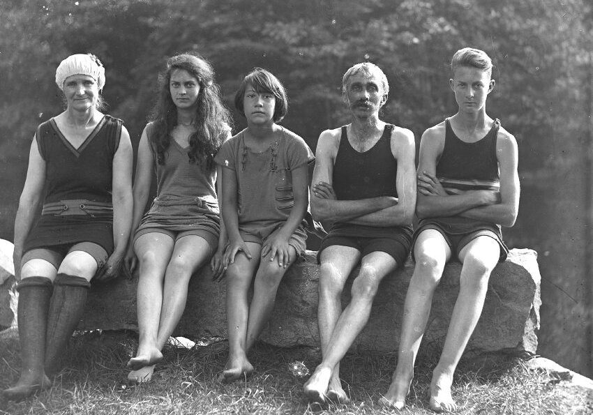
The OMHC has a robust collection of close to 6,200 photographs of people living in the Old Mystic, Connecticut area between 1880 and the 1970s. This includes folks in Elmer Waite’s glass slides and Julia Beebe Coates photographs. Other images from the mid-20th Century were taken or collected by Eva Butler. Moreover, the collection contains images of gravestones from numerous cemeteries from New London County.
Manuscripts
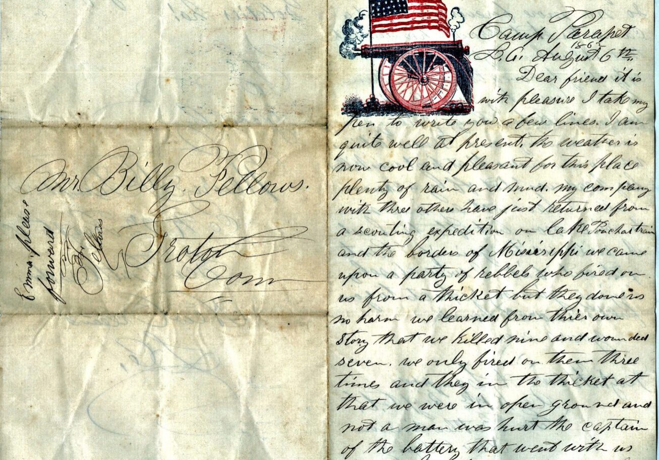
With more than 1,600 items, the Center’s manuscript collections span a number of centuries. You can search early records of local 17th and 18th Century businesses, diaries, letters, deeds, indentures, and much more for people of interest. For instance, look at Justice of the Peace William Williams’ recording of the Freeman’s Oath and Oath of Fidelity of men in Groton loyal to the colonial cause. Some of these individuals died at the Battle of Fort Griswold in 1781. Or read the correspondence between Pvt. William C. Fellows, 26th Regiment, Connecticut Volunteers, Company K and his family and friends back home during the Civil War (pictured left).
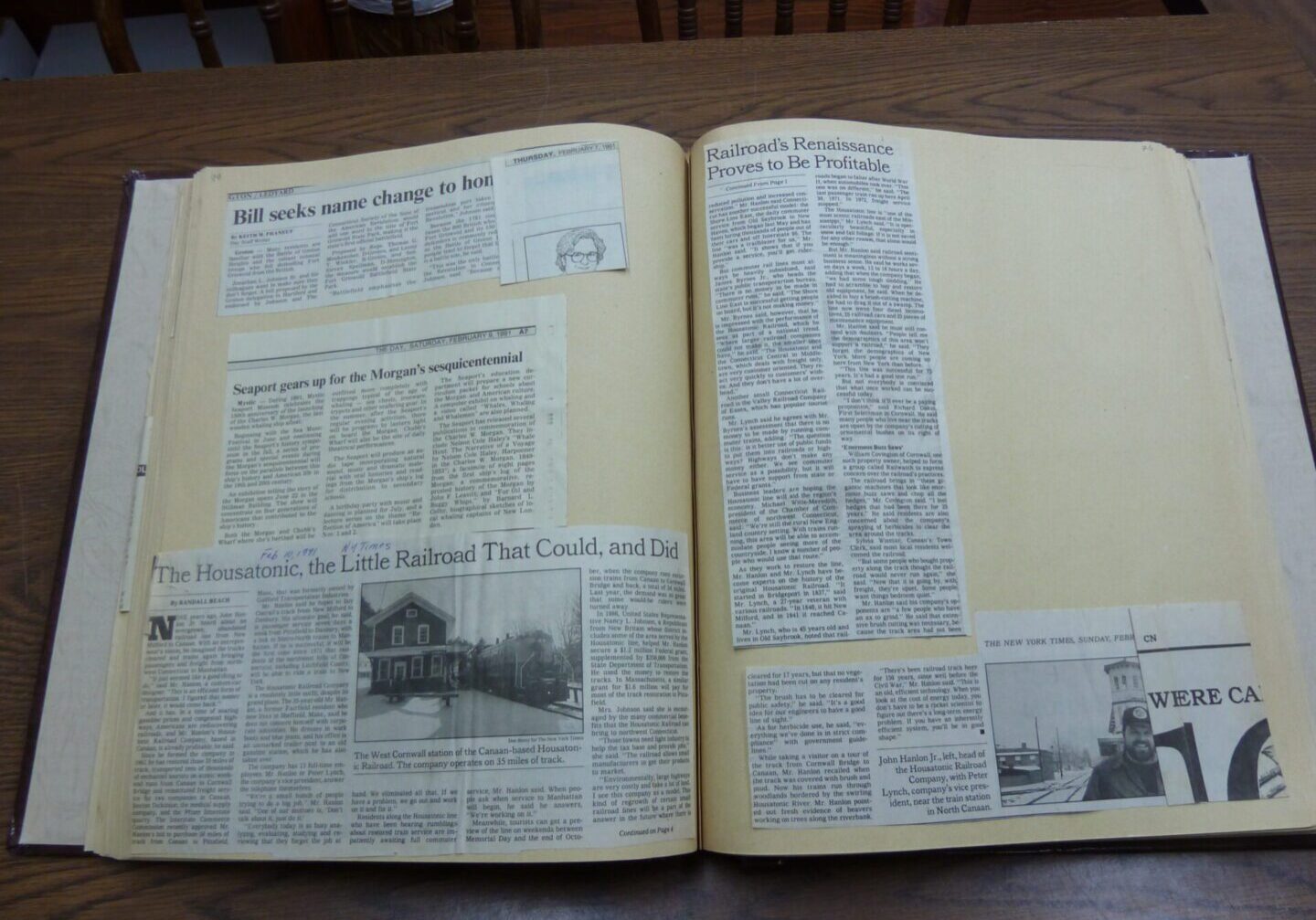
Scrapbooks
We hold 122 scrapbooks containing newspaper clippings that date back as far as the 1930s and cover a wide range of topics, many of which are relevant to today’s headlines. Other items of interest include obituaries, articles on archaeology, regional events, and local Native Americans.
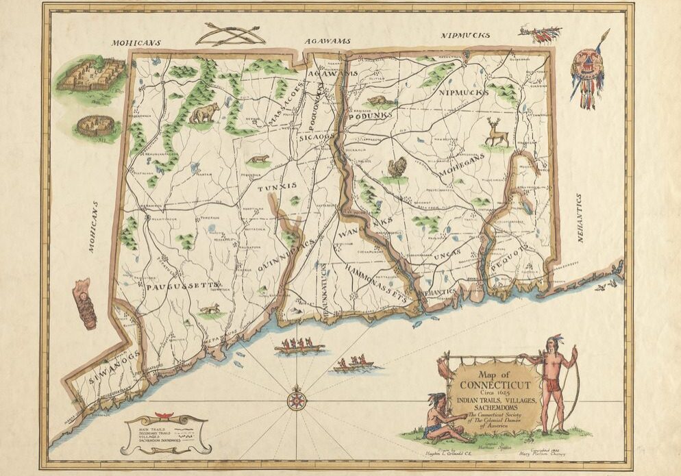
Local Maps
We have many maps of Connecticut and specific local towns up through 1934, including Mathias Spiess' reconstructed map of Indian trails villages and sachemdoms circa 1625 and an original map of the Fort Hill Farms of John Fanning and Samuel Fish dated 1695. Also included are Eva Butler's hand-drawn maps of Native New London County and of the right of way for the trolley track in Mystic in 1935.
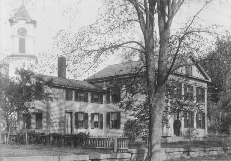
Historical Houses
If you're interested in old houses, we have photos and other documentation about these homes in our area as well as throughout Southern New England. These materials include postcards, images, period architectural information, and real estate advertisements for colonial houses in Connecticut, Rhode Island, Massachusetts, and Maine. Come in to see if your house or the home of your ancestor is among those in our collections.
